Pilot project with LMBV completed
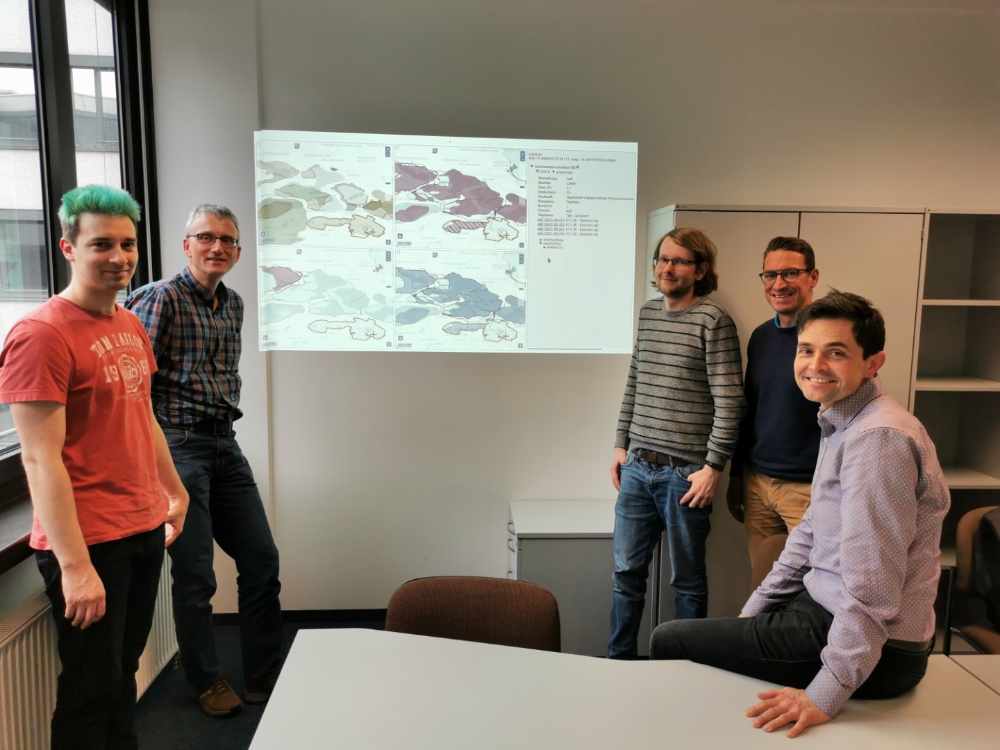
A team of scientists from the Data Mining and Value Creation project has successfully completed the pilot project with Lausitzer und Mitteldeutsche Bergbau-Verwaltungsgesellschaft mbh (LMBV). The pilot project developed a prototype software solution for more efficient processing of inquiries about mining rehabilitation activities.
LMBV’s specially designed geo-information system, which is constantly being developed to meet LMBV’s requirements, served as the starting point. However, due to the immense increase of available data and documents, it became more and more complex for LMBV to efficiently answer inquiries of third parties, which refer to the areas renatured by LMBV.
Visual preparation of text and geodata
As part of the pilot project, the data model for LMBV’s renaturation data was restructured. For this purpose, a graph-based database was chosen in order to better model the connections between the individual data and documents.
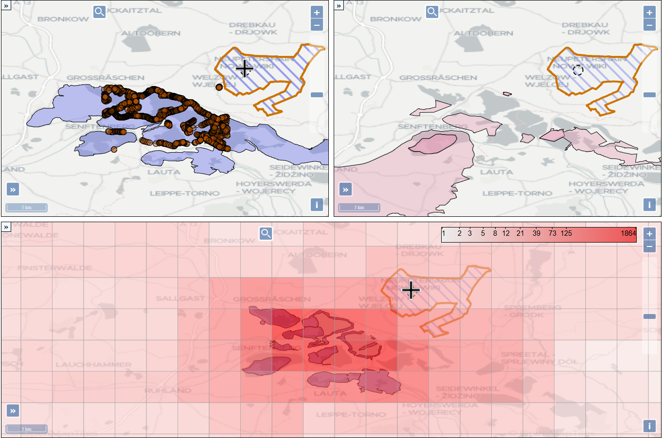
In order to better take into account hazard warnings, prohibitions and restrictions on use in renaturation planning, the scientists developed a web application that links text data with geodata and displays them visually on digital maps. The corresponding information is automatically extracted from the texts using machine learning.
To extract the bids and bans from LMBV documents, the researchers used the Active Learning paradigm to train a Support Vector Machine model* with as little manually annotated training data as possible. Using an existing mapping of documents to geo-coordinates, the constraints extracted in this way can be directly displayed on a map.
*mathematical method for pattern recognition